Sudan’s major floods meet a meagre response
23 January 2020
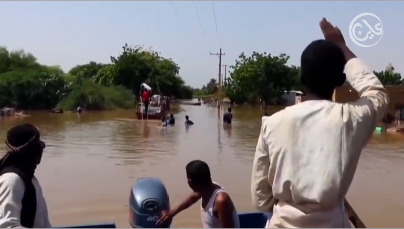
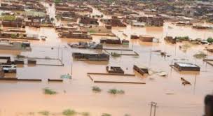
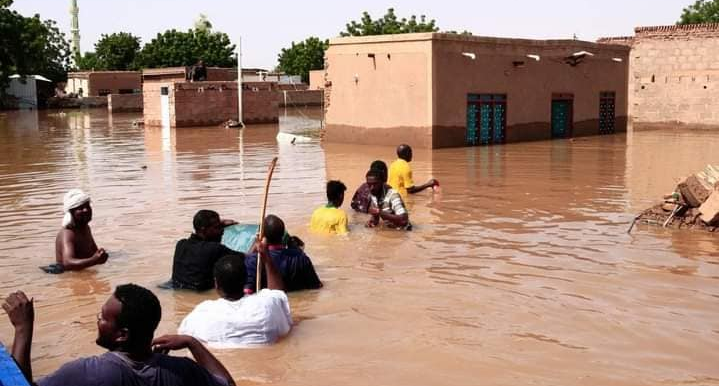
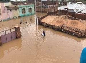
“God must be angry with us,” says Khartoum resident Khalaf Shareef half-jokingly as he surveys more streets engulfed in water. Many Sudanese share Shareef’s sentiments –with historic floods that have so far affected half a million people, leaving over 100,000 homeless—some Sudanese are questioning why this unprecedented disaster has befallen them. The rain and flooding exceeded records set in 1946 and 1988, forcing the government to declare a three-month state of emergency this month.
But Sudanese authorities say there are legitimate, natural reasons for today’s floods – that may even increase further along the Nile River due to rains in the highlands of Ethiopia. Recognising the cause of the floods, Sudan’s government admits more needs to be done to prepare for the future.
Causes of 2020 Flooding
The unprecedented floods in Khartoum and elsewhere stem from heavy rainfall which is in turn triggered by changes in sea-surface temperature of the pacific ocean, says climate expert Dr Mudathir Zaroug. Rainfall rates in the Ethiopian highlands have a direct impact since the Atbara, Sobat and Blue Nile rivers all stem from these highlands. If temperatures rise in the Pacific Ocean, Dr Zaroug says, this leads to drought in the Blue Nile region, while cooler temperatures lead to increased rainfall and subsequent floods in Sudan.
In regard to the White Nile, heavy rainfall from Lake Victoria remains the main culprit. Since May 2019, Lake Victoria rainfall has been above average. “Lake Victoria witnessed an unprecedented rise in water levels that surpassed the levels of 1964, which increased the flow significantly creating a wave that travelled slowly towards Khartoum,” Zaroug told Ayin.
The heavy water flow took around two months from May to arrive at Jabel Aulia Reservoir near Khartoum State, while severe rainfall in the Ethiopian highlands since mid-August led to the flooding of the Blue Nile. The two heavy flows converged in a rare but catastrophic merger, flooding Khartoum at unprecedented levels. “This event is very rare, as the two rivers usually don’t flood together and Lake Victoria doesn’t witness such increases frequently,” Zaroug added.
Authorities’ Response
While the country faces the worst flooding in history, it could have been worse without government intervention. The government of Sudan forms annual committees to address flood issues. There are two emergency committees currently active to handle floods, one under the Ministry of Irrigation and the other in the Federal Ministry of Health, who in turn report to the National Committee of Emergencies.
“The Ministry works simultaneously as a data provider to national stakeholders. It provides policy support, coordination, and technical assistance related to flood disaster risk management in Sudan,” says Redwan Mohamed, head of the Early Warning Systems Committee for floods. “The ministry shared (works) on the four components of early warning systems; risk knowledge, risk monitoring, communication/dissemination, and response.”
When flooding is identified, authorities partially close Jebel Aulia Dam located on the While Nile, 40 km upstream to Khartoum and the Roseires Dam along the Blue Nile, 620 km upstream from Khartoum. The irrigation ministry closed the Jebel Aulia Dam in August and regulated several other dams in an attempt to control the flow of the Nile, Mohamed said.
“Roseries Dam gates were closed to protect downstream from the high wave of floods this year”, he told Ayin, adding that the response taken by the ministry also reduced the water levels from irrigation canals to protect farms and fisheries based in the flood plain areas.
The other committee under the Federal Ministry of Health conducts assessments, environmental sanitation and relief support for flood victims, according to an official source in the emergency committee. “All this is a part of our annual quick response plan. However, it’s not enough and there isn’t enough funds or staff,” he told Ayin.
Challenges and vulnerabilities
The committee faced many challenges according to Mohamed as there are several gaps that need to be addressed –one of the biggest being an inability to forecast impending floods ahead of time to warn and support flood-risk communities. A lot more, however, could be done to predict floods by studying the water levels of the ocean and lakes in the region, says Dr Zaroug. “This year was unprecedented; however, it could occur again in the future and we need to be better prepared. The government needs to cooperate with other regional and international stakeholders and coordinate the work with them.”
More advanced, technical methods could also be better utilized, says Assistant Professor Abdelrahim Salih from Imam Muhammad in Saud Islamic University, such as satellite remote sensing systems. “There’s even an official body (in the government) – the Remote Sensing and Seismology Authority – that has the capacity to do research on using geo-informatics to monitor natural disasters,” Salih says, “the government should use it for this.”
But even when the authorities are adequately equipped and informed of upcoming floods, their ability to respond was curbed due to another crisis: the Covid-19 pandemic, according to the same source at the Emergency Committee in the Federal Ministry of Health. “When the government declared Sudan an emergency zone –this was an obvious indicator of the lack of funds and resources [to deal with] the floods. Our health system has completely collapsed.”
While the government pledges better preparation to contend with Sudan’s future floods, Khartoum residents and others across the country continue to wade on through the river-like streets. “The floods have affected everything in Sudan, including food prices,” Shareef said, wearing his much-used gum-boots to traverse the flooded streets, “but we carry on and pray for dryer days.”


